TERRITORY
Smart Truffle
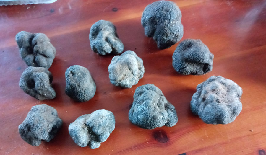
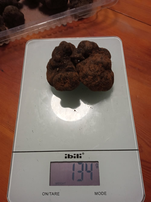
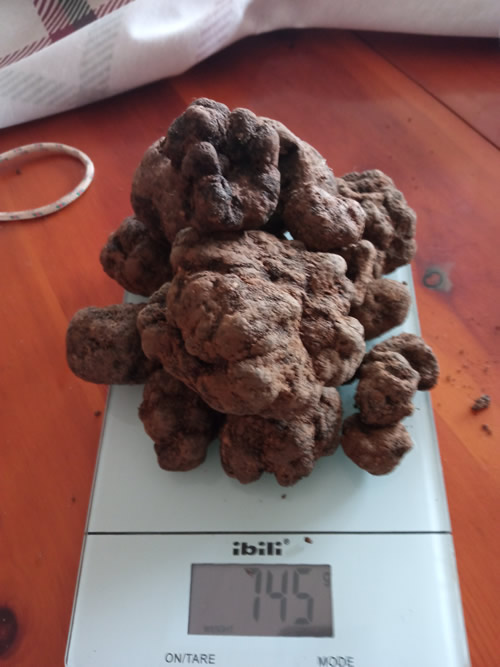
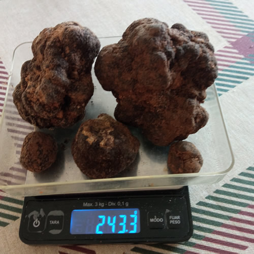
The project consists of developing an agronomic information system for oak forests that allows areas with a high probability of truffle occurrence to be detected.
SPAIN
AREA TO BE DIGITISED
Production Processes
SUBSECTOR #1
Agriculture
SUBSECTOR #2
Horticulture
CROP PRODUCTION SYSTEM 1, 2, 3
Rainfed
Organic
Open-field
TECHNOLOGY
Big Data and Data Analytics, IoT, Machine Learning
DIGITAL SOLUTION CATEGORY
Precision farming
STAKEHOLDERS
Agricultural cooperativas and associations
IMPACT
Productivity
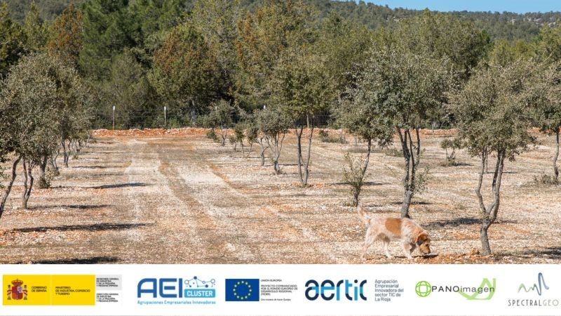
The project consists of developing an agronomic information system for oak forests that allows areas with a high probability of truffle occurrence to be detected and classified according to the estimated time for harvesting truffles of the highest possible quality.
Farm challenges
The main farm challenges were detecting truffle presence without invasive methods, identifying optimal harvesting windows, and managing high spatial and environmental variability in truffle orchards.
Assistance / Boost program
Ayudas a Agrupaciones Empresariales Innovadoras (AEI).
Innovative features of the initiative / solution
The solution innovatively combines AI, multispectral satellite and drone imagery, in-situ soil sensors, and a user-friendly GIS platform to detect truffle presence and predict optimal harvest timing at tree level.
Results obtanied
The project achieved highly accurate AI models for truffle detection and harvest timing prediction, reaching up to 98.8% overall accuracy and delivering a validated, scalable web-based monitoring platform.
Lessons learned
The lessons learned are that soil-related variables are critical for truffle detection, high-quality data acquisition significantly reduces modeling effort, and integrating agronomic expertise with AI is essential for reliable results in niche crops.
Useful links
- AERTIC Website
- AERTIC (X)
- AERTIC LinkedIn
- SpectralGeo Website
- SpectralGeo LinkedIn
- PANOimagen Website
- PANOimagen LinkedIn
Gallery