TERRITORY
DRONE MONITORING OVER TXAKOLI VINEYARDS
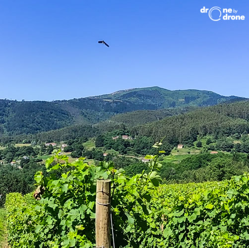
Aerial digital monitoring using drones over txakoli vineyards in Bizkaia, for adcuiring NDVI index maps and identificate water stress or illness like Mildiu.
SPAIN
AREA TO BE DIGITISED
Production Processes
SUBSECTOR #1
Agriculture
SUBSECTOR #2
Vineyard winemaking
CROP PRODUCTION SYSTEM 1, 2, 3
Rainfed
Organic
Open-field
TECHNOLOGY
Big Data and Data Analytics, Biometrics and digital identity, IoT
DIGITAL SOLUTION CATEGORY
Precision farming
STAKEHOLDERS
Individual farmers
IMPACT
Productivity
Aerial digital monitoring using drones over txakoli vineyards in Bizkaia, for adcuiring NDVI index maps and identificate water stress or illness like Mildiu.
Farm challenges
Identify the affected areas and combat the downy mildew fungus.
Assistance / Boost program
Self-initiated.
Innovative features of the initiative / solution
Drones, digitalization, digital-twin. Ndvi index maps, multiespectral monitoring
Results obtanied
Identification of zones and control of them using organic products.
Lessons learned
The improvements in the process introduced by the use of drones are primarily environmental and economic for the farmer.
Attachments
Gallery
Visit dronebydrone.com
Video
Contact
- Website: https://www.dronebydrone.com/

